National Institute of Technology and Evaluation (Osaka)
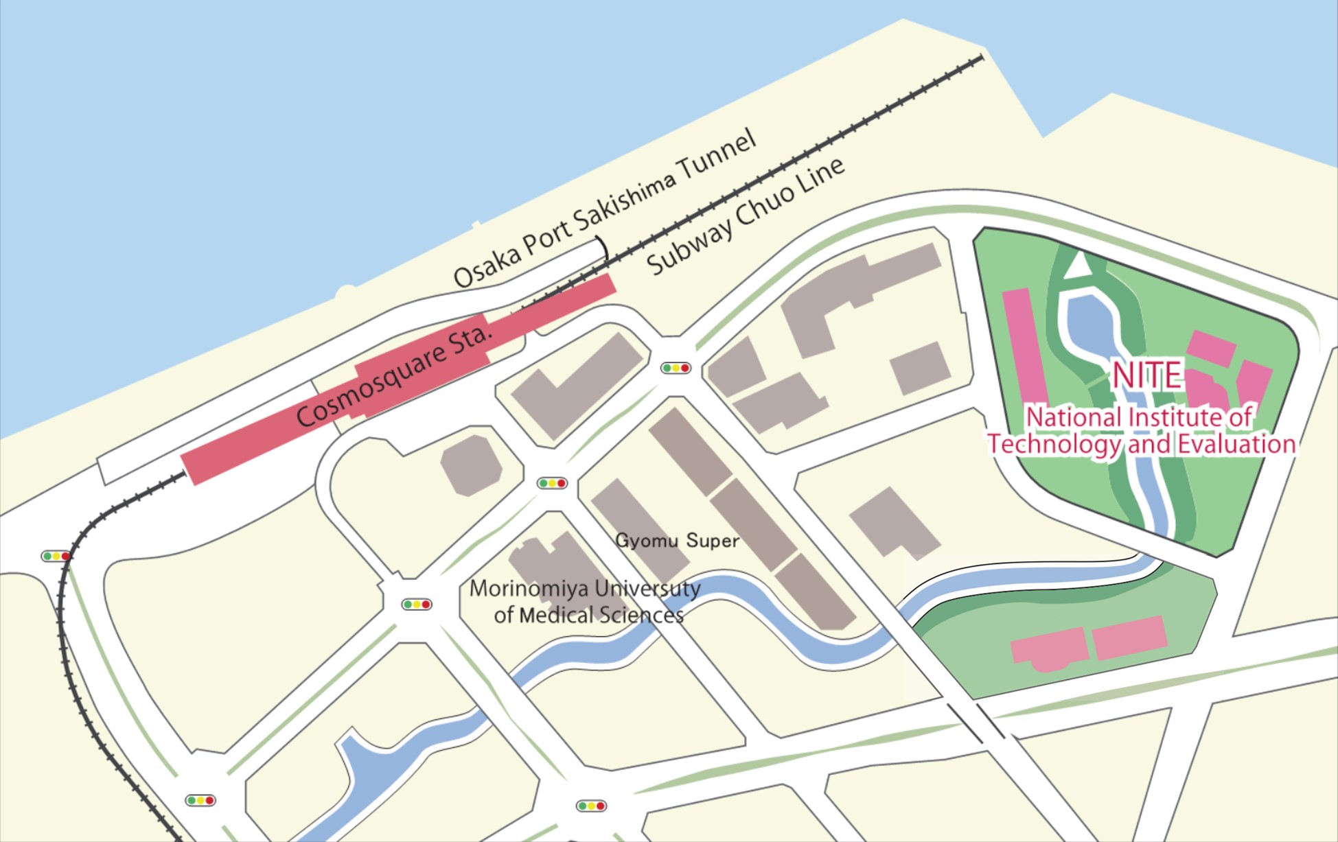
National Institute of Technology and Evaluation (Osaka) Area Map

- 10 min. walk from Cosmosquare Sta. exit No.2., (City Subway Chuo Line and Nanko Port Town Line).
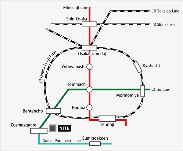
National Institute of Technology and Evaluation (Osaka) Public Transportation Map

Nearest Sta.: Cosmosquare Sta.
- From Shin-Osaka Sta.: take Midosuji Line subway , change at Hommachi Sta to Chuo Line subway, and get off at Cosmosquare Sta.
- 20 min. from Suminoe Koen Sta. to Cosmosquare Sta. on Nanko Port Town Line.
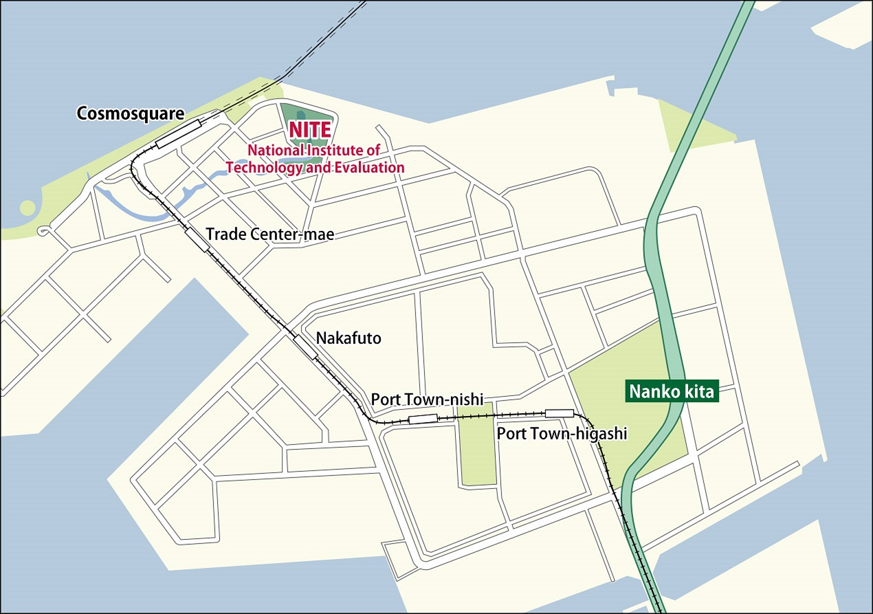
National Institute of Technology and Evaluation (Osaka) Map (by car)

- 50 min. from Kansai International Airport.
- 40 min. from Osaka International Airport.
- 30 min. from Shin-Osaka Sta.
[From Kansai International Airport]
11 min. from Nanko Minami Exit of Hanshin Expressway Route 4
[From Osaka International Airport or Osaka City]
9 min from Nanko Kita Exit of Hanshin Expressway Route 4
Contact us
- Corporate Communication Strategy Office, Management and Planning Division, Planning and Administration Department, National Institute of Technology and Evaluation
-
Phone number:+81-3-3481-6685
Fax number:+81-3-3481-1920
Address:2-49-10 Nishihara, Shibuya-ku, Tokyo 1510066, Japan MAP
Contact Form
